North Shore Resilience Action Plan

Port Glasgow to Long Point

The Long Point Biosphere Region was selected for funding by the Canada Water Agency to develop a Resilience Action Plan for the north shore of Lake Erie, from Port Glasgow to Long Point. To learn more about how the project will be managed and the objectives, please visit the About page.

The first three years of the project, from September 2024 to March 2027, will focus on three key activities:

  1. Engagement with stakeholders and landowners in the study area.
  2. Development of a North Shore Resilience Action Plan, informed by technical studies and community feedback, to restore natural shoreline processes and increase resilience to coastal hazards.
  3. Complete beach and dune restoration projects in the study area with nature-based solutions.

The Working Group will continue to explore other funding opportunities to advance the Action Plan beyond year three.

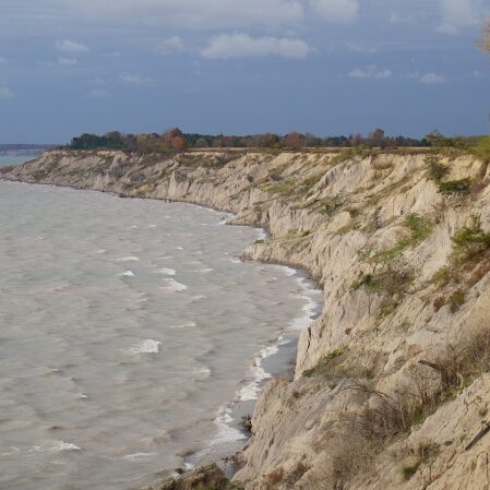
Bluffs West of Port Stanley RE

PROJECT AREA

The project area extends from Port Glasgow to Long Point, along the north shore of Lake Erie. This area is known as a littoral cell or sediment cell, which is a coastal segment that defines the supply, longshore transport, and deposition of sand and pebbles. Within a littoral cell, there are erosional areas (e.g., bluffs), a net direction of longshore sediment transport, and a downdrift area where sediment accumulates (e.g., beaches). Refer to the adjacent map of the project area and littoral cell boundaries.
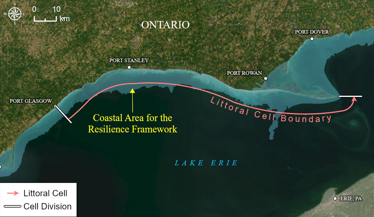
Figure - Central Lake Erie Reg Units with Long Point West Littoral Cell (Crop)